What is Waypoint Navigation?
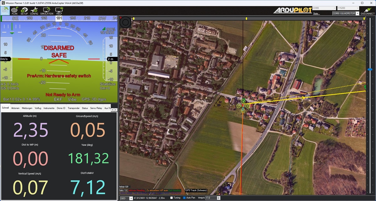
GPS-based waypoint navigation is a method that uses GPS technology to guide a vehicle or device along a predefined route made up of specific points, called waypoints. Each waypoint has GPS coordinates (latitude, longitude, and sometimes altitude) that mark a particular location. The navigation system calculates the direction and distance to each waypoint and helps the user follow the optimal path between them. This technology is commonly used in applications like autonomous drones, robotic vehicles, and outdoor navigation, providing accurate and reliable guidance in real-world environments.
But beware: Most terrain models do not contain any information about obstacles such as tall trees, masts or buildings. So you either have to go to a safe height or plan your route very carefully.

Technology used

Prerequisites
A stable GPS signal and a compass are a prerequisite for any waypoint navigation. It would also be advisable to be able to change the flight modes of the drone via the remote control. If you realize that you have made a mistake when planning your flight, you can switch back from AUTO to POS_HOLD or STABILIZED at any time. If something goes completely wrong, you should be able to disarm the drone via a switch, which is the last resort, so to speak.
Prerequisites Overview

- stable GPS signal
- calibrated compass
- flight mode change via radio
- disarm switch